La Niña 2025-2026 Is Gearing Up. Here Are The Weird Weather Events It Could Bring To Your Region
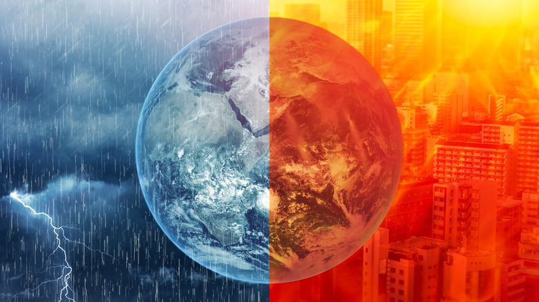
If you've lived somewhere long enough, you probably have a decent idea of what each season will bring weather-wise. But every so often, Mother Nature will throw a wrench into the works. She often does this through two types of fluctuating climate patterns: El Niño and La Niña. Together they're referred to as the El Niño-Southern Oscillation (ENSO) cycle, and both involve temperature changes in the Pacific Ocean that can affect global weather patterns. The former involves above-average ocean temperatures, and the latter involves cooler ocean temperatures. Both alter the Pacific jet stream alongside normal winter conditions in the various U.S. regions.
The National Weather Service's Climate Prediction Center is forecasting a 71% chance of La Niña conditions in October through December 2025 and a 54% chance it will persist from December through February 2026. This would typically mean more precipitation in the U.S. Northwest, drier weather in the West and South, and colder and snowier weather in the Midwest and Northeast. But with climate change in play, things may be a bit different through November, with higher-than-average temperatures and below-average precipitation across the United States.
A wetter winter in the Pacific Northwest and drier one in the West and Southwest
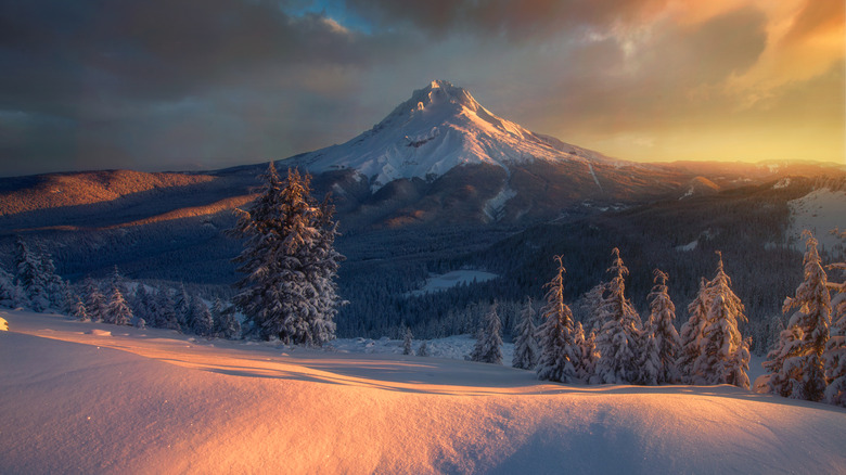
When La Niña conditions occur, they push the jet stream northward, and the Pacific Northwest and Northern Rockies often experience a colder and wetter winter. Some areas are likely to get above-average snowfall, like parts of Washington, Idaho, and Montana (great news for skiers and snowboarders, less so for anyone who has to shovel their driveway). It's also good news for states that are experiencing drought conditions, like parts of Washington, Oregon, Montana, and Idaho. Still, some areas of the Pacific Northwest, like Southern and Central Oregon, are expected to get less snow than average.
Before we get into the heart of the winter, the United Nations is predicting above-average temperatures and less precipitation for the Pacific Northwest and Northern Rockies, which doesn't bode well for these drought-stricken areas. According to the NOAA, La Niña will bring warmer average temperatures and less precipitation to the West and Southwest, which also won't bring any relief to water-starved regions, like parts of Southern California, Arizona, and New Mexico.
A warmer, drier winter down south
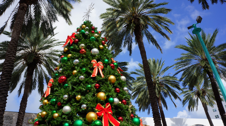
La Niña tends to bring warmer, drier weather to the South and Southeast, and the trend for the winter of 2025-2026 looks to stay true to past La Niña episodes. While some folks rely on folklore to predict the coming winter's weather, the rest of us rely on government organizations like the National Oceanic and Atmospheric Administration (NOAA). And for December 2025 through February 2026, the NOAA is predicting above-average temperatures and below-average precipitation for most of the South and Southeast. If you live in Tennessee or Kentucky, though, NOAA is actually predicting above average precipitation for your area. Still, weather is always variable, so don't get too worked up if you were hoping for colder temperatures.
The South Coast and Southeast have another issue to worry about: La Niña can often make hurricane season worse by encouraging more Atlantic cyclones. For instance, in 2020, La Niña conditions helped produce an incredibly active hurricane season resulting in 30 named storms. Meanwhile, the Midwest and Northeast can expect the opposite conditions, but possibly not as extreme in past years when La Niña conditions occurred.
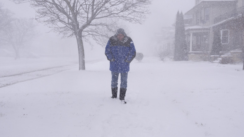
The Midwest may experience a worse winter
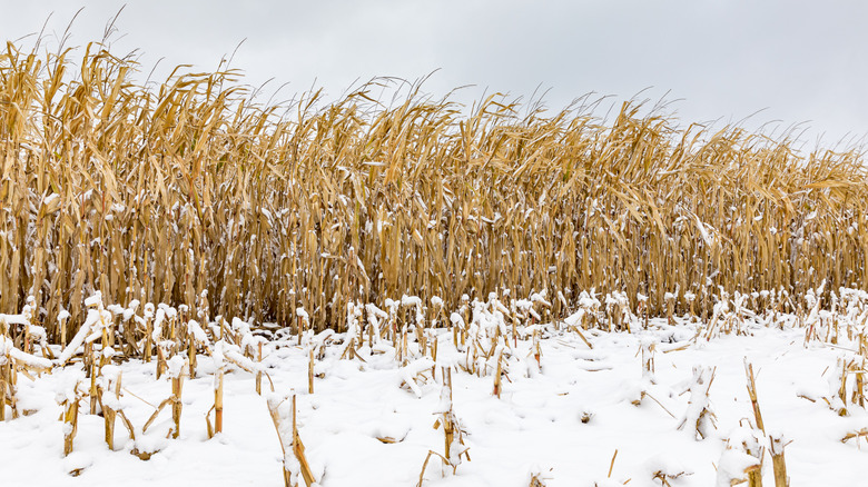
The Midwest is no stranger to harsh winters, and historically, La Niña tends to make them all colder and wetter. If La Niña behaves as it has in the past, parts of the Midwest, like Michigan, may experience a warmer fall but a harsher winter with colder temperatures and more snow. The northern Great Lakes are the most likely to see typical La Niña weather this coming winter.
Interestingly, the Climate Prediction Center gives the region an equal chance of having typical seasonal temperatures and precipitation from December 2025 through February 2026. The exception is the Ohio Valley (including parts of Illinois and Ohio), which is likely to see a higher amount of precipitation than normal along with warmer temperatures in southern areas. The bright side is that more precipitation could help alleviate the moderate to severe drought conditions in parts of America's breadbasket. Still, it wouldn't hurt to start pulling out your winter clothes.
The Northeast will likely get a mixed bag
Typically, La Niña brings more snow and colder temperatures to the Northeast. But from December 2025 through March 2026, the Climate Prediction Center is forecasting a 33% to 40% chance that much of the Northeast will see above-average temperatures and an equal chance of typical near-normal precipitation. With that said, there are a few other factors that might play into the region's weather conditions.
One potential problem is La Niña's ability to influence the polar vortex, an area of low pressure and cold air at the North Pole (and the South Pole too). When weakened, the vortex sends a blast of arctic air south, with the Northeast typically receiving the brunt of it. Another possible problem is an increase in lake-effect snow from strong winds during La Niña winters. During 2022 La Niña conditions, the area around Buffalo, New York, saw the biggest snowfall in its history, with a whopping 80 inches falling in just a few days. Whether La Niña does negatively impact the coming weather or not, as they say in "Game of Thrones": "Winter is coming."