How The Shape Of Arizona Was Decided
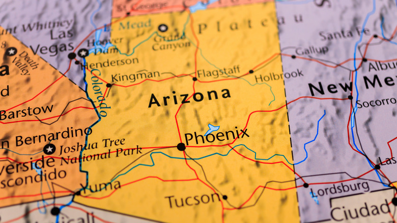
Arizona, the sixth-largest state in the country by area, has a notably unusual, rectangular-like shape, as do a few states in the Southwest U.S. (via Britannica). Along with New Mexico, Colorado, and Utah, Arizona is one of four states you can stand in at the Four Corners monument, reflecting its decidedly man-made boundaries on its east side (via National Geographic).
Arizona is bordered by California and Nevada to the west, and the boundaries there are easy to explain — they're largely made by the curving route of the Colorado River. But south of the state, where it touches the Mexican state of Sonora, the border becomes a straight, if slanted, line. The border is even more orderly along the state's north side, where its border runs straight along the 37th parallel, and its east side, where it runs perpendicular to that line (via JSTOR).
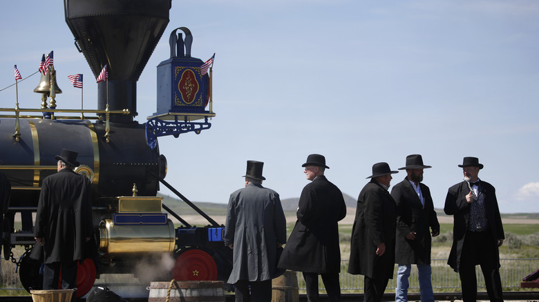
But how did this geography take shape, and how was it determined? The answer touches on a surprising amount of U.S. history — from the construction of transcontinental railroads to the Civil War.
The southern border: Legends and fact
After the United States ended its war with Mexico in 1848, the countries remained on shaky terms. Both countries had claims to the Mesilla Valley, Mexico alleged that the U.S. had not honored all of its agreements in the Treaty of Guadalupe Hidalgo, and Americans frequently crossed the border into Mexico in an attempt to gain territory, according to the U.S. Office of the Historian. In an attempt to resolve this tension, the U.S. negotiated what is today known as the Gadsden Treaty, named after the U.S. Minister to Mexico at the time, which, among its provisions, expanded the U.S.'s southern border by purchasing $10 million worth of land from Mexico. The U.S. hoped to use its new purchase to build a southern line of its transcontinental railroad.
The border is slanted so Mexico could keep its western seaports and a land bridge to the Baja California peninsula (via Pima County Public Library). But an urban legend maintains the border is slanted because surveyors walked from Nogales to the nearest saloon, in a city to the northwest.
A side effect of "Compromise"

In 1850, the United States was on the verge of collapse over the issue of slavery. Whig legislator Henry Clay attempted to stave off a civil war by managing the expansion of slavery in western states with the Compromise of 1850 (via United States Senate). His compromise would end slavery in Washington, D.C. and admit California to the union as a new free state; in return, pro-slavery forces would get the passage of a stronger fugitive slave law and the chance of new slave states through popular sovereignty in the western territories.
This delicate compromise would not last long. But one thing that did endure was its organization of the western territories. The first act that made up Clay's compromise established the border of the New Mexico Territory, setting its northern border along the 38th parallel (via The Library of Congress). The later establishment of the Colorado Territory would set the boundary along the 37th parallel instead, where it remains (via New Mexico Historical Review).
Eventually, President Lincoln would create the borders of the Arizona Territory out of part of the New Mexico Territory, establishing it as a free state and basing its eastern border on the western border of Colorado (via The Library of Congress). That boundary is at the awkward longitude of 109°02′48, because the borders of Colorado were drawn based on a short-lived longitudinal system that put Washington, D.C., and not Greenwich, England, as the prime meridian (via U.S. Ends).