Why Alabama Has Had A 'Bump On Its Head' Since The 1980s
You would think that state borders would be more or less etched in stone. After all, matters of great significance can depend on what happens on either side of a metaphorical (or, in the case of a natural formation such as a river, actual) line. These arbitrary barriers can determine the age at which a person can vote or buy alcohol, for example, or which state collects taxes. And while most of the borders of most states are unambiguous, there are a few instances where things get fuzzy. States once separated by rivers may find that rivers change course, and what was once on this side of the river is now on that side of it (see: Kaskaskia, Illinois, which is now, by all rights, in Missouri, per Fox 2 Now). Inaccuracies or tomfoolery in surveying can throw land borders into chaos as well. If at some point in history somebody failed to dot all of the i's and cross all of the t's, ambiguity can result.
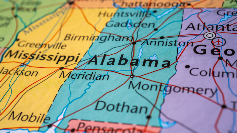
One example of this type of cartographical ambiguity can be found along Alabama's northern border, which it shares with Tennessee. The 35th parallel (or, more accurately, what surveyors once thought was the 35th parallel) does a pretty good job of defining the boundary (per Dave Carroll's Chattanooga Radio and TV). However, since the 1980s, there's been a low-stakes dispute about an anomaly along that border. As WIAT reports, a curved-shaped line along a small border section extends north into Tennessee. A Redditor called it Alabama's "bump on the head."
How We Got Here
As WIAT explains, the borders of Alabama, Tennessee, North and South Carolina, and Georgia shifted over in the colonial era. But eventually, the border between Tennessee and Alabama was determined to be the 35th parallel. In a weird data point noted by Chattanooga's Radio and TV, stone markers identifying the parallel are about a mile from where the actual parallel is. But the two states have gotten along just fine for two centuries despite this.
The issue at hand comes into play along Huckleberry Drive, a dirt road that, depending on your point of view, abuts Madison County, Alabama or Lincoln County, Tennessee. As you travel east or west along the road, you're straddling the border between the two states. Except at one point, the road curves north, resulting in a small area, roughly the size of "a few football fields," as WIAT describes it, that is technically a part of Alabama even though it extends past the rest of the border.
There's no telling how this happened, but the anomaly has been there since at least the 1980s. Some major mapmaking companies, such as Google, include the curve, while others, such as Bing, do not. The tax maps of neither state settle the matter; "it's blurred lines all around," notes writer Lee Hedgepeth (via WIAT).
The Stakes Are Low
Don't expect this oddity along the border of Tennessee and Alabama to result in any conflict, such as a similar dispute once did along the border of Missouri and Iowa (per The Gazette). The land is all owned by one family, according to WIAT, and it's not a gold or platinum mine or some other high-value plot that either state would be keen to lay claim on. It's an apple orchard, and whether it's in Alabama or Tennessee makes no difference except for the slightest difference when the property taxes are paid each year.
Scott's Orchard notes on its website that it has an Alabama address, although most of the farm is in Tennessee. Indeed, in 2010 the farm was deemed a "Tennessee Century Farm," "a very prestigious honor for 100 years of continuous agricultural production that only approximately 1500 other Tennessee farms share," the website notes. Its kind of in Tennessee and kind of in Alabama makes no difference. "We offer many varieties of the freshest apples, peaches, plums, watermelons, fresh-pressed cider, slushies, vegetables, honey, and molasses in the south," and the matter of it being in this state or that state has no real bearing on the delicious products the farm sells.


