How Specific Stars Can Help Sea Travelers Navigate The Ocean
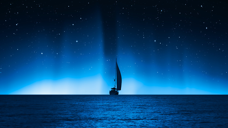
The prosperity of the great civilizations of the East and West was built on a foundation of maritime trade. The free exchange of goods and ideas was a boon to every society that participated in this great trade network. But for thousands of years, navigating the world's great seaways was dependent on staying close to the coast and avoiding the vast open waters of the sea.
The people of the Pacific Islands were early unacknowledged masters of ocean travel, traversing hundreds of miles of open ocean in relatively primitive boats thousands of years ago. To achieve these incredible feats of navigation, early Polynesian explorers relied on a diverse skill set to aid them in their journeys. They could recognize the patterns of waves down current from an island or spot the reflection of an atoll on the underside of a cloud. But one of their best tools was an intimate knowledge of the stars — a skill modern mariners relied on from the Age of Exploration to the rise of GPS (via Exploring Our Fluid Earth).
Brightest star in the sky
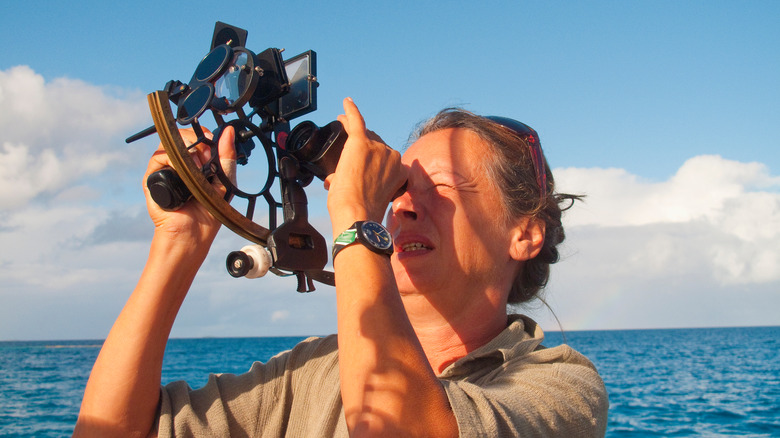
The most important star in human history is, without question, the sun. Aside from being the engine for all life on Earth, its rising and setting marked out east and west, making it easy to determine the four cardinal directions. Of course, the ocean is fickle, and the wind and the currents aren't bound by the compass rose, so it's easy to become disoriented around midday when the sun is high in the sky. Thankfully, this is when the sun is most useful as a navigational aid. Per Exploring Our Fluid Earth, if you have a nautical almanac and a device to measure the angle of the sun above the horizon, you can determine your latitude (how far north or south of the equator you are).
Being able to accurately find your latitude is the inspiration for map projections popularized by Gerardus Mercator. Even though the Mercator projection is often lambasted for its distortions of landmasses, it's built for sea navigation via latitude (via Britannica).
The North Star
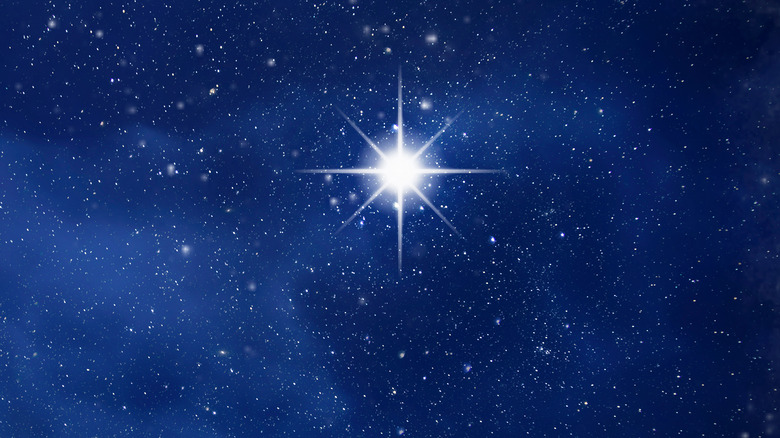
Navigating by using the sun is all well and good, but what's a sailor supposed to do at night? We can still rely on the rising and setting of the moon to help us determine east and west, but the moon is inconstant and can't be relied upon for critical navigational computations. Likewise, the stars change throughout the seasons and move through the night sky. There is, however, one star that appears to be fixed throughout the night and throughout the year: Polaris.
The earth rotates about its axis, and that axis maintains the same angle relative to the sun throughout the year. That means that as the Earth revolves around the sun, its poles are always pointing to the same part of the sky. In the northern hemisphere, there just happens to be a star there. For centuries, people have used this star to find north at any time of the night, on any day of the year. It's because of this that we often call it the North Star (via Scientific American).
Polaris is also stupid useful for finding your latitude. Find the angle between it and the horizon, and that's your latitude — no almanac or complex calculations required.
There are stars in the southern sky
South of the equator, a whole new set of stars appear on the horizon every night. Unless you've ever been in the southern hemisphere, you've probably never seen — let alone heard of — constellations like Pavo the peacock or Volans the flying fish. One you may have heard of is Crux, the Southern Cross.
Whereas Polaris can be used to find due north in the northern hemisphere due to it being at the celestial pole, there are no easily visible stars at the southern celestial pole. Where Crux comes in handy is that you can draw a line between two of its brightest stars that intersect with the celestial pole (via Astro Navigation Demystified). Because the Southern Cross isn't stationary like the North Star is, it can't be used to directly calculate latitude. Instead, its value lies in helping to establish a cardinal direction and as a cultural touchstone: It's featured on the national flags of Australia, Brazil, New Zealand, Papua New Guinea, and Samoa (via Te Ara).
Where are these stars?
The sky is a big place, and the night sky is filled with thousands of stars that we can see unaided. Given the immense vastness of a sky filled with uncountable stars, it can feel like an impossible task to point out just one. Fortunately, we have constellations to help guide us on our search for stars.
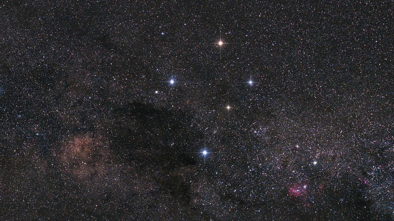
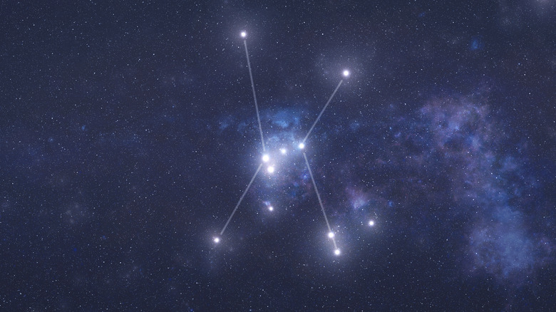
Constellations have been used for thousands of years to help people organize the night sky. Most of us are familiar with the constellation Orion, for instance, but we may not have known that we can find due east by observing where Mintaka (the rightmost star in Orion's belt) rises in the night sky. Likewise, we can determine west by observing where it sets (via Formula Boats). Another familiar constellation to denizens of the northern hemisphere is the Big Dipper. The two rightmost stars (Dubhe and Merak) can be used to find Polaris. Simply follow a line beginning at Merak, the lower star, through Dubhe, and the next star you reach is the North Star.
Intercepting your position
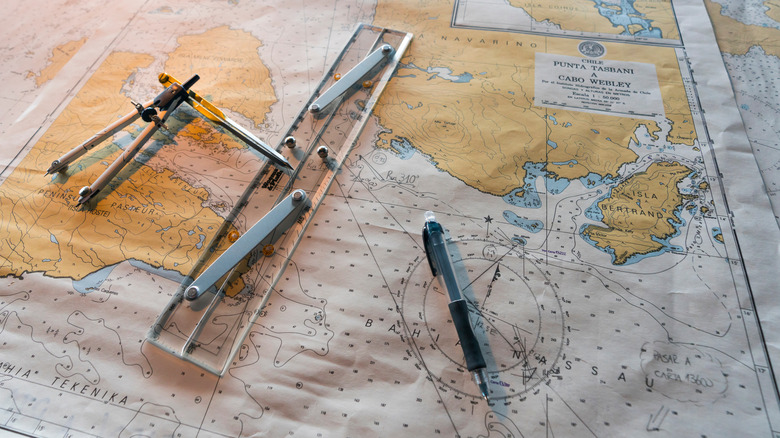
With everything we've covered so far, we're able to determine the four cardinal directions, how far north we are, and an easy way to remember the stars. Given our trusty sextant, a nautical almanac, and a reliable watch, we're ready to figure out where we are.
If we know the angle of a star above the horizon and the time, we can draw a circle on a map that shows where on the planet that star would be visible at that angle at that particular time. If we repeat the process for another star, we get a second circle. The two points where those circles intersect on the map are our possible positions. Since we already know how to determine our latitude, it's easy to eliminate one point of intersection, leaving a good approximation of where we are (via SKYbrary).
It may seem like celestial navigation is a relic of a bygone era, but among those who spend time on the water, it is considered an invaluable skill. Today, it is still being taught by the U.S. Navy and has been used by airplane pilots and astronauts to find out where they were. GPS is still the best, but there will always be a place for the stars in navigation.